Monday, 31 March 2014

Long Weekend in Great Langdale

JustGiving - Sponsor me now!

Our first big weekend of our training schedule, we headed to the Lakes and in particular Great Langdale. For people not familiar with the area, Great Langdale can be found west of Ambleside and is nestled below the Langdale Pikes and Bowfell. This weekend we managed to hike a total of 41.75km with a total climb of 2,910m!


Friday 28th March 2014 - arrival and set up camp

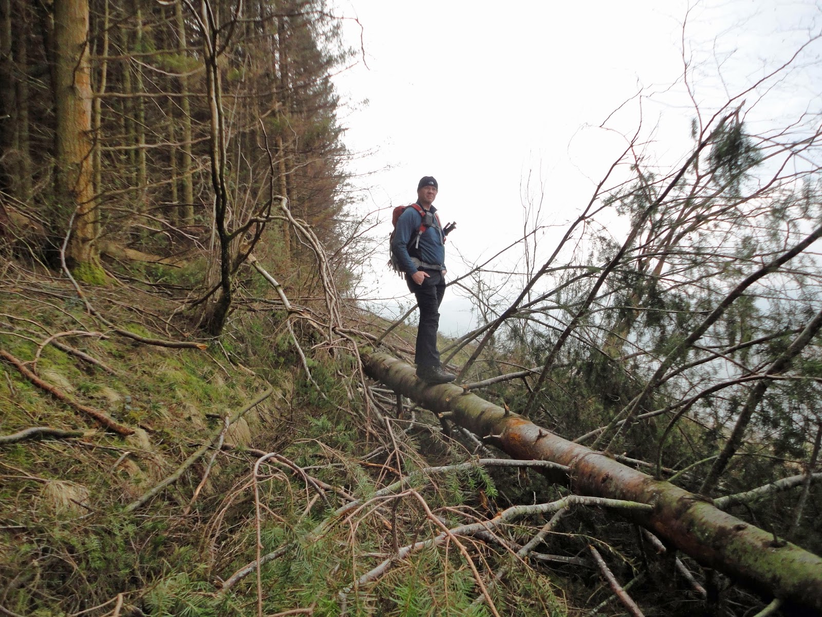
As the heading suggests it was the day we got there and set up camp - oh yeah the camping bit is all part of the training as we will be camping for majority of the trek! We arrived a bit later than planned - M6 roadworks - anyway after pitching the tent it was too late to hike across to Elterwater and back so we decided to stroll up Mickleden and back to the Sticklebarn Tavern still this was 7.45km with a total climb of 314m.

Obligatory photo of tent Illuminated from inside

Pen at the end of Mickleden


Looking towards Langdale Comb with Stake Gill


Looking towards a cloud covered Bowfell

Saturday 29th March 2014 - High Rise the hard way!

We started from the National Park Campsite back towards the Sticklebarn Tavern (sadly not for a beer) to follow Stickle Ghyll up to Stickle Tarn, then onto Blea Rigg and Sergeant Man before reaching High Rise. At High Rise we had a well earned break then headed on to Thunacar Knott and the Langdale Pikes before heading back down via Stake Pass to the Old Dungeon Ghyll for a well earned pint! We walked 16.9km with a total climb of  1,089m which took us 5hrs 28mins.

Stickle Tarn


Maria at the top of High Rise

Dorian at the top of High Rise

 
Heading towards the Langdale Pikes

Snow covered mountains

Well deserved pint at the end!


Sunday 30th March 2014 - Pike of Blisco, Crinkle Craggs and Bowfell

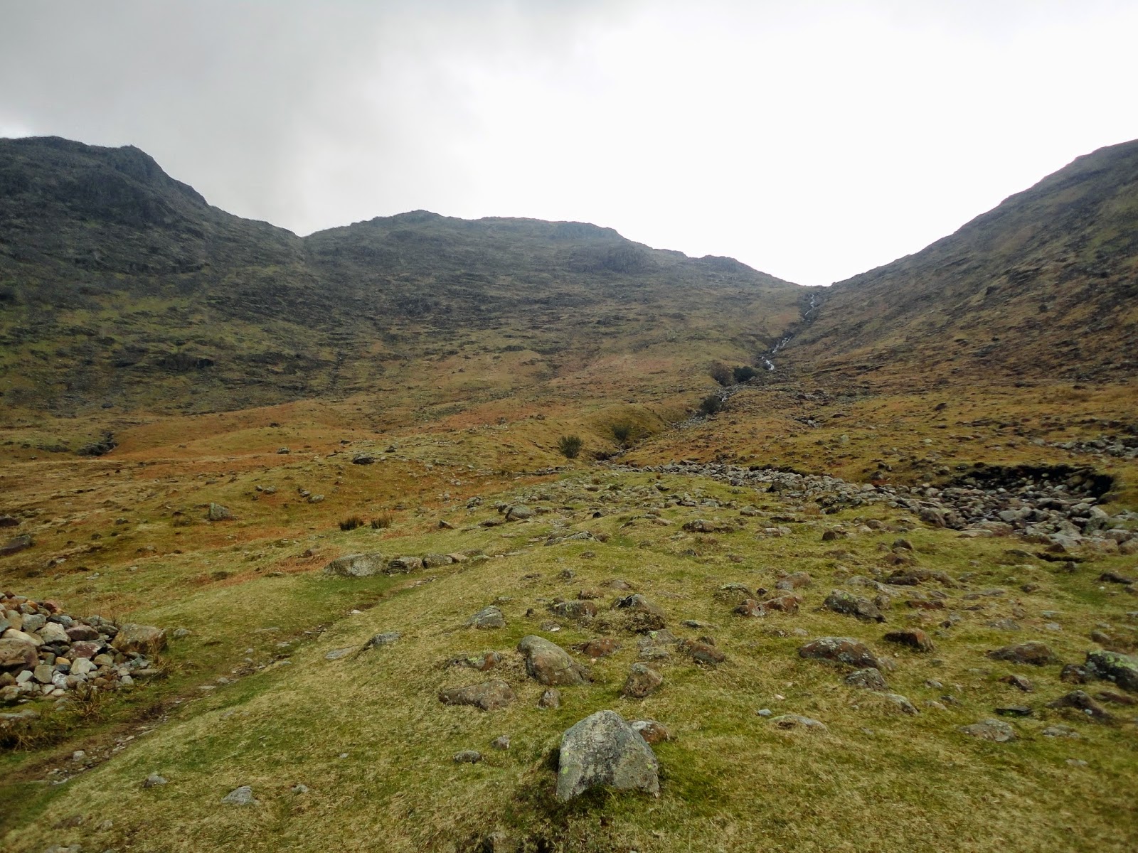
Again starting from the campsite we took a path towards Side Pike before heading across to Pike of Blisco then onto Great Knott, Crinkle Crags and then to our final peak of the day Bowfell, the descent was via Rossett Gill a steep and relentless path. We walked 17.4km with a total climb of 1,507m which took us 7hrs 33mins.


Panorama of Bowfell


Maria at the top of Pike of Blisco


Dorian at the top of Pike of Blisco


Maria at the top of Crinkle Crags
Dorian at the top of Crinkle Crags


Angle Tarn


Angle Tarn and Bowfell


Saturday, 22 March 2014

Mynydd Troed & Mynydd Langorse

JustGiving - Sponsor me now!


Weather forecast did not look promising, high winds, heavy snow/sleet/hail/rain showers and extreme wind chill, but we still had to head out to the mountains to train for the High Atlas Challenge. Today we decided we would attempt two peaks, Mynydd Troed first then onto Mynydd Llangorse. The total distance as per Memory Map was 14.2 km with a total ascent of 629 m with a profile as shown below:


To be quite honest we were very lucky with the weather, the sun shined most of the time, with an odd light shower. The total distance walked as recorded by GPS was 14.44 km with an ascent of 818 m which took 4 hrs 15 mins. The following pictures show our progress through the day.

Mynydd Troed

Dorian at the top of Mynydd  Troed

Maria at the top of Mynydd Troed

Mynydd Langorse awaits us

At the top of Mynydd Langorse

A moody Pen Y Fan covered in snow


Sunday, 9 March 2014

Fallen Trees one day, Cribyn and Fan Y Big the next - All before the Rugby!

JustGiving - Sponsor me now!

This weekend it was a case of get out of the house complete a trek and be back before the rugby kicked off! Each walk was selected in order to achieve this Tor Y Foel on Saturday 14.6km with a 632m climb, the north face of Cribyn then Fan Y Big on Sunday 13km with a 855m climb.


Saturday 8th March - Tor Y Foel

A relatively relaxing start from Talybont on Usk following the Taff Trail before bearing off over Tor y Foel then back to Talybont via the canal path. However, we did come across a couple of obstacles with fallen trees across the paths! Weather was mostly fine with high winds on Tor Y Foel.

This one was straight forward to get passed

This one was a bit tricky!

Dorian at the top of Tor Y Foel

Maria at the top of Tor Y Foel


Sunday 9th March - Cribyn & Fan Y Big

Cribyn is one of the big "uns" in the Brecon Beacons and is sandwiched between Pen Y fan and Fan Y Big. Our walk today takes in the north face of Cribyn before heading east to Fan Y Big. Today was glorious sunshine but with a biting cold wind on the summits. Despite the good weather we still managed to get wet feet when fording a stream towards the end of the walk, due to the recent weather the stream was a more like a river, the depth of which was well over our boots!
Cribyn

On the top back dropped by Pen Y Fan 


Looking at Fan Y Big from Cribyn

On Fan Y Big's diving board


Sunday, 2 March 2014

Black Mountains, A Lords Knob and the Highest Mountain in Brecon!

JustGiving - Sponsor me now!
Over the long weekend we hoped to complete a fair few kms but the weather was just not on our side, we were beaten on two occasions by gale force winds which made it impossible to stand let alone walk! Despite the bad weather we still managed three walks one in the Black Mountains by Waun Fach, Hay Bluff and Lord Herefords Knob and lastly Pen Y Fan.

Friday 28th February - Black Mountains

Snow and gale force winds was the order of the day, the target was Waun Fach but due to the strong winds the route was changed to a lower level hike. Distance 11.2km with a 553m climb which took us 3hrs 35mins.


Saturday 1st March - Hay Buff and Lord Herefords Knob

A better day weather wise and we managed to complete the planned route which took us up onto Hay Bluff before heading across to Lord Herefords Knob. It was still cold with plenty of snow on the ground. Distance 9.5km with a 417m climb which took us 2hrs 45mins.


Sunday 2nd March - Pen Y Fan

Weather one word awful, so bad in fact the camera was stowed safely in the rucksack throughout. We followed the tourist route to the summit and back a total distance of 5.8km with a climb of 429m which took us 1hr 48mins.